· 3 min read
Publication highlights Nebraska’s secondary aquifers
Most Nebraskans likely are familiar with the High Plains aquifer, one of the largest aquifers in the world, and the primary source of water for many Nebraskans. But for those living in eastern Nebraska and in portions of the panhandle where the High Plains aquifer is absent, secondary aquifers are crucial sources of water for life.
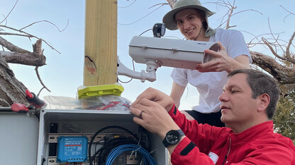
A new publication by hydrogeologists with the University of Nebraska—Lincoln’s Conservation and Survey Division delves deep into Nebraska’s seven secondary aquifers and provides extensive detail about their characteristics, with a focus on water quantity, water quality, and water use. The educational circular, “An Overview of Secondary Aquifers in Nebraska,” is the first comprehensive analysis of its kind in the state.
“This publication is designed to answer questions commonly asked about these smaller aquifers,” Dana Divine, a co-author and survey hydrogeologist with the Conservation and Survey Division, said.
Divine, co-author Steve Sibray and cartographer Les Howard complied and analyzed data from more than 4,000 active wells in 30 counties in eastern and western Nebraska to summarize where and how each of the secondary aquifers are used. The secondary aquifers in eastern Nebraska are the Western Interior Plains, Dakota, Codell, and Niobrara aquifers, and in western Nebraska are the Chadron, Brule, and Upper Cretaceous aquifers. Maps for each of the seven secondary aquifers show the locations of individual wells.
“The maps in this publication are printed on transparent overlays so that the spatial relationship of the aquifers to each other is clear,” Divine said. “More than one secondary aquifer is used in some counties, and we would like people to understand where it is possible to drill into a deeper aquifer and where it is not.”
In addition to showing the locations of the aquifers, the hydrogeologists also answered basic questions such as how deep the aquifers and available water are; how much yield the aquifers produce; where they recharge or discharge; and how the water is used. They also summarized water quality and highlighted potential problems associated with tapping into the aquifers. Secondary aquifers, they noted, typically yield less water that is poorer in quality and more difficult and costly to access than water in primary aquifers.
“People should find this publication helpful if they have concerns about their water quality or if they want to know if they have potential to install a well in an area where the High Plains aquifer is absent,” Sibray said. “They should get a good idea of how deep these aquifers are and what to expect in terms of well yield and water quality.”
Hard copies of the publication are available at the Nebraska Maps and More Store in the Hardin Hall, 3310 Holdrege St. They can also be purchased online or by phone at 402-472-3471. A free PDF is available to institutional university members online.
Based in the School of Natural Resources, the Conservation and Survey Division is a multidisciplinary research, service and data-collection organization established by Nebraska state statute in 1921.
Recent News